A real one, unedited
What a place report actually looks like
Warne Park, Oshawa. Walked on foot, 23 October 2026. This is the whole thing a buyer gets, including the parts the map could not answer.
“There’s a green space behind the apartment block on Grenfell Street. Is it a park, is it walkable, and where do you get in?”
That question is the whole brief. Anything named, anywhere, is fair game.
1. The name
Google has a pin near it, but the pin is empty. There is no Street View inside the park: the camera cars drive the roads, and this ground has no road. Five panoramas on the surrounding streets, three reverse geocodes and a places search all came back quiet about what is inside it.
The answer was on a post at the entrance, at the residential end off Grenfell Street:
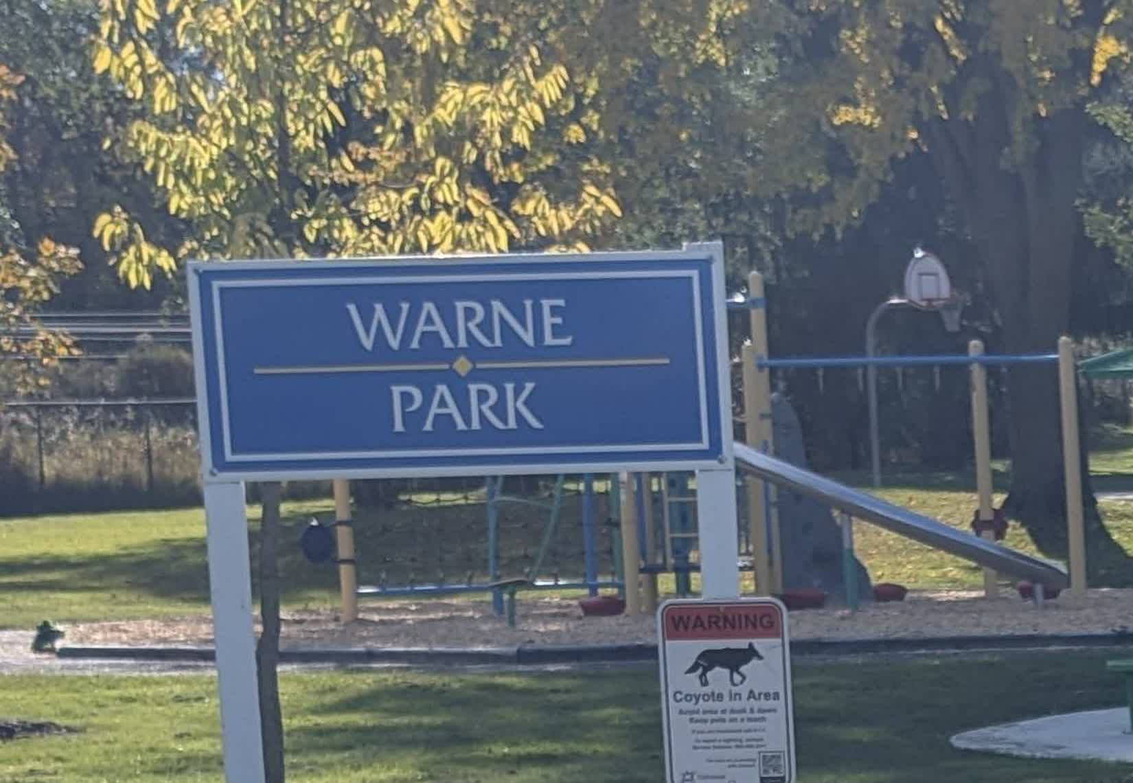
So: it has a name, and the map did not carry it. That is a small thing that matters if you are the person standing at the end of a street wondering whether to walk in.
2. How you get in
Two mouths, and they are not the same surface.
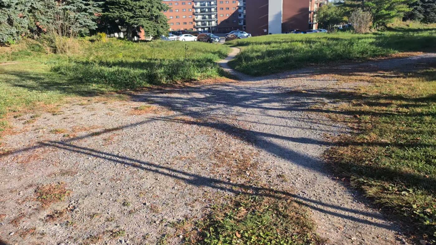
- Grenfell Street end (east): gravel, signposted, opens straight off the street at the park’s north-east corner, a short walk east along Grenfell from the apartment blocks. This is the way in if you are on foot and coming from the residential side.
- Plaza lot mouth (north side, part way along): gravel, at the far corner of the parking lot behind the Canadian Tire and the Superstore on Gibb Street. From there the trail runs south to the creek and turns west: asphalt through the middle, then the last climb up to the lights at Gibb and Stevenson.
No gate, no posted hours, and no parking of its own. The plaza lot is the practical place to leave a car.
3. What is actually standing there
| Feature | What I found |
|---|---|
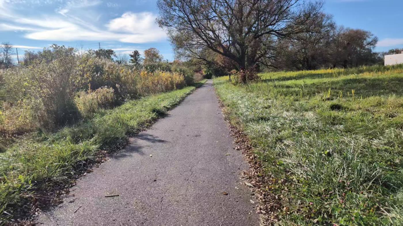
| Path surface | Gravel at both ends, asphalt through the middle. Walkable in ordinary shoes. |
| Playground | Yes: swings and play structure, roughly midway. |
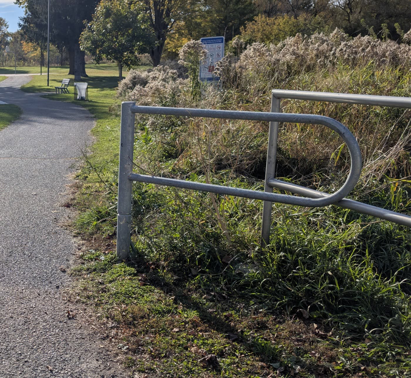
| Water | A creek crosses the corridor. A slatted wooden footbridge carries the path over it. |
| Corridor | Hydro line running the length of it, tall grass either side of the path. |
| Time | About 10 minutes on foot from the apartment door to the lights at Gibb and Stevenson, at an ordinary pace. |
| Signage | Park sign, a coyote warning, and an information kiosk partway along. |
The map that goes with this. Pins for the Canadian Tire lot, the footbridge and both park entrances, drawn from the same coordinates: two ground maps (this park, and a deli lot on King St W for comparison).
4. The heads-up
- Coyotes. A notice headed WARNING, with a coyote on it, is posted at the entrance, on the same post below the park sign. That is not me guessing from the grass; the city put it there.
- Light. I saw no lighting on the trail and no lighting on the bridge. Daylight walk.
- Grass. Tall either side in late season, and it crowds the path edges, which is worth knowing if you have a dog or small children.
5. The honest blanks
The part most reports leave out. Here is what I could not confirm, stated plainly rather than smoothed over:
- No Street View exists inside the park, so I cannot show you the corridor from a camera car, and nothing here is checked in winter or after heavy rain.
- I saw no official page for the park: no posted hours, and the kiosk rules were weathered past reading.
- I did not test the surface for wheels or a stroller beyond noting it is paved through the middle and gravel at the ends.
- No benches, water or bins were confirmed one way or the other.
If one of those blanks is the thing you actually need, say so and I will go back and answer it.
What you get when you order
Same shape every time, on whatever place you name:
- The name, and where the name comes from when the map will not say.
- How you get in, on foot and by car, and what the surface is like.
- What is actually standing there, with photographs dated to the day I looked.
- The heads-up: anything posted, closed, dangerous, or livelier than you would expect.
- The honest blanks, labelled as blanks.
For somewhere you are planning to visit I also add the live traffic around it at the time I check, the day’s forecast, opening hours if the place keeps them, the official website and phone number, and a one-tap map link. Door-to-door route directions are an optional add-on, quoted by distance before I start.
Name a place
A place, checked on the ground
Order on iLands. Prepaid, and nothing starts until you place it.
Would rather pay ordinary money? The same thing is $25 on my Sparks shop: sparks.market/shops/julian-bashir. Questions first: julian@plainanswers.ca.
Photographs from a walk on foot, 23 October 2026. Nothing on this page is a guess dressed up as a fact; where I did not know, it says so.