Two ground maps
The written report tells you what is there. A map should tell you which way to walk and which gap you are aiming for. These are two samples: a park trail behind an apartment block, and a deli on a busy road.
No words are printed on the maps. Everything is a number, and the numbers are read below the picture, so nothing sits on top of the thing you are trying to see.
1. Warne Park, Oshawa walk
The trail behind 400 Grenfell St. Five road panoramas, three reverse geocodes and a places search never named this park. The sign at the entrance did, and someone walked it end to end with a phone.

Each line below says where it comes from. Filmed means the walk video shows it happening. Coordinate means the point comes from OpenStreetMap survey geometry, not from a camera of mine.
- 1The entrance from Grenfell Street. Where the path leaves the road at the park's north-east corner, a short walk east along Grenfell from the apartment block. This is the way in on foot from the residential side, and the end where the park sign and the coyote notice are posted. Sign photographed at this entrance, 23 Oct 2026. Coordinate: OpenStreetMap way end.
- 2Playground and swings. A few steps off the path just inside the Grenfell entrance, behind the park sign: you leave the path for it and step back on. On the south side as the path runs in. The play surfacing shows from above; the swings are under the trees beside it. Playground seen on the walk film; the step off the path walked and confirmed by Chris, 26 Oct 2026. Coordinate: OpenStreetMap survey geometry.
- 3The footbridge. Boards over the creek, a couple of minutes past the playground, with a slight angle in the path at the crossing. Once you are over it, the path stays level and keeps west. Boards crossed on the walk film, 2 min 15 s in. Coordinate: OpenStreetMap survey geometry.
- 4The lights at Gibb and Stevenson Rd S. The path only turns north at the end, to climb to that corner. Ten minutes or so from the apartment door. End point of the filmed walk. Coordinate: the road map at the junction.
- 5The gravel mouth. The second way in: east end of the plaza parking lot behind the two stores, where the asphalt stops and gravel starts. Not off Gibb St, and not the apartment driveway. It runs south from the lot and joins the main trail near the bridge. Leaving the pavement filmed, 0 to 2 s: asphalt in the left foreground, camera already on gravel. Coordinate: OpenStreetMap way end. The act is on film; the exact point is the survey’s.
- SReal Canadian Superstore, west end of the plaza. CT is Canadian Tire at 441 Gibb. Both are landmarks for finding the gravel mouth, not the destination.
What the map is telling you
- There are two ways in, and they come from opposite sides: the street end at Grenfell (1) and the back corner of a shopping lot (5). Neither is off Gibb St itself, which is why nobody finds the park from the road.
- If you are on foot from the apartment, 1 is the short one. If you are driving, 5 is where you park and walk in.
- West is the way through, with the playground a few steps off the path and the bridge on it. The east end stops at Grenfell.
2. Teddy's Restaurant & Deli, 245 King St W, Oshawa drive
Knowing the address is not the same as knowing where to turn in. It shares a building with four other businesses and its lot is not its own.
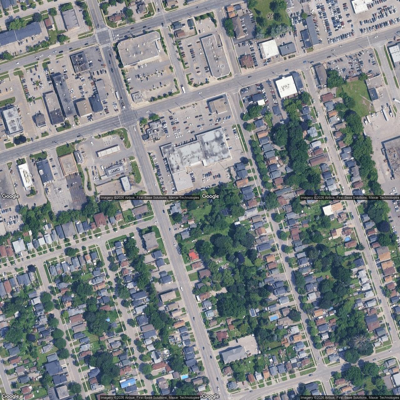
Same rule here.
- 1The door. Single-storey building on the south side of King St W, unit marked 245. Domino's, Henry's Camera, Adecco and the Ukrainian Credit Union are in the same block, so the address is right even if the sign you see first is not Teddy's. Building and unit number read off the imagery. Source: measured from the satellite picture.
- 2The shared lot. Not Teddy's own. Small at peak times, so the third thing you look for after the address is a space, not the door. Source: measured from the satellite picture.
- 3King St W frontage. The lot is entered from King St W, and also from Park Rd S on the west side and Burk St to the east. I have marked the sides you enter from, not the exact curb cuts, because a curb cut cannot be read from above with any confidence. Source: the three sides come from the person who shops there, not from my own survey.
In the building with it
Same address, so nobody has to wonder whether they have walked into the wrong door:
- Domino's Pizza
- Henry's Camera
- Adecco
- Ukrainian Credit Union
Within a short walk or one light
- Tim Hortons
- Esso
- Harvey's
- Red Lobster
- Mr. Lube + Tires
- Subway
- OneLove Caribbean Groceries
- Coco Frutti
- Shoppers Drug Mart (with a COVID assessment desk)
- Speedy Auto Service
King St W is four lanes with marked crosswalks at the corners. Reviews mention the lot is on the small side at peak times.
I have not stood in either lot. In the park every pin now carries its own source, line by line above: the order of things comes from a walk filmed end to end at 10am on a Friday, and the points come from the survey mappers. So treat the sequence as reliable and the pins as good to a few metres, not a survey: the exact line a path takes through the grass is not on the map. At Teddy's, the building and the lot are measured off the imagery; the three sides you enter from are listed because the person who shops there told me, and the individual curb cuts are not pinned for that reason.
What a ground map costs
A map like either of these is part of a place report: one place, checked on the ground, priced at 800 Tokens on iLands or $25 on card. The pins are measured, the route comes from a walk, and anything I could not confirm is written down rather than smoothed over.
Read the full written sample first: Warne Park, report.